Ocean Data Platform
ODP helps people explore, discover, add, share, publish, and use ocean data in multiple ways without having to stitch together separate catalog, storage, and access tools.
Why ODP
- Find what matters
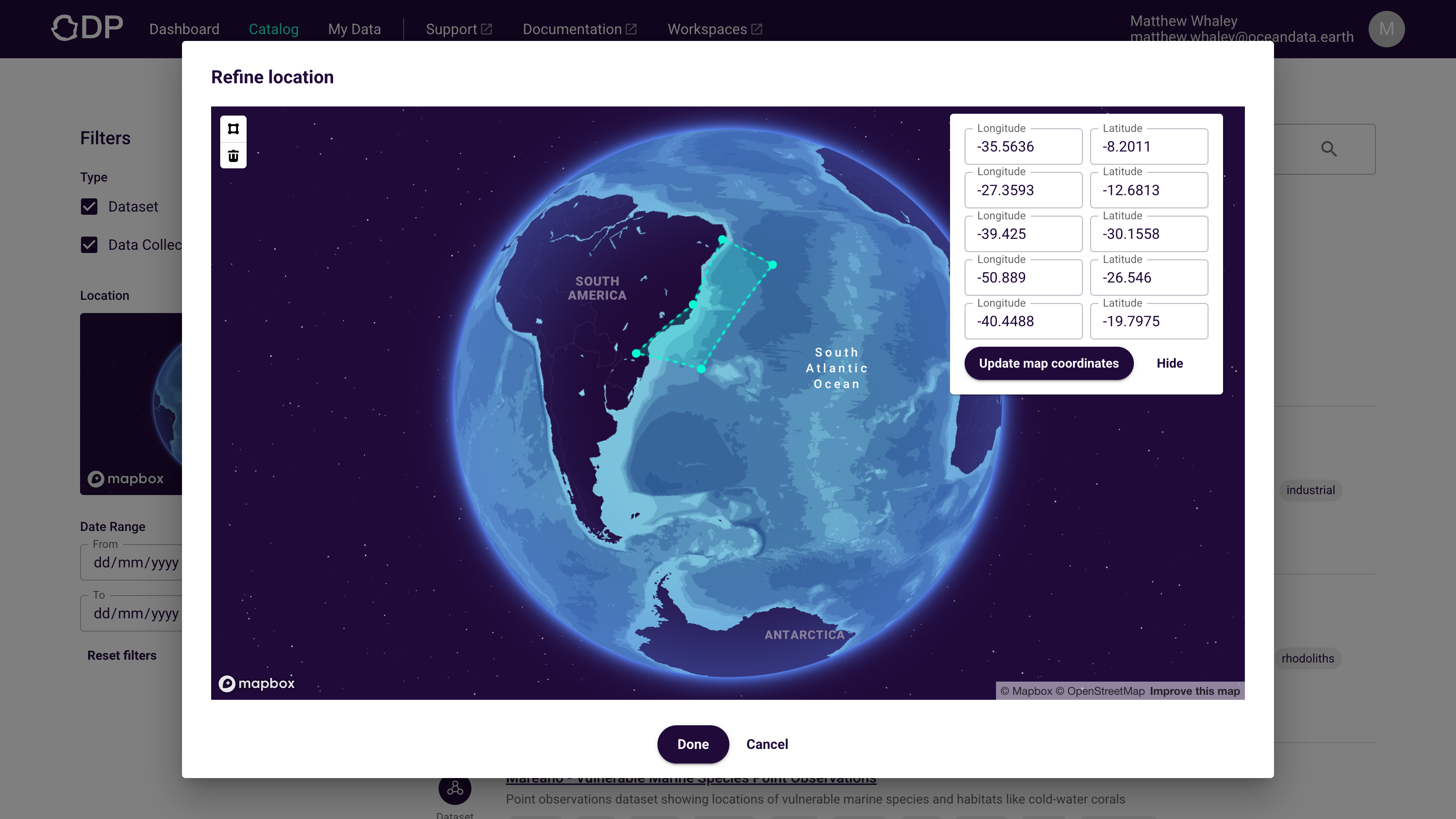
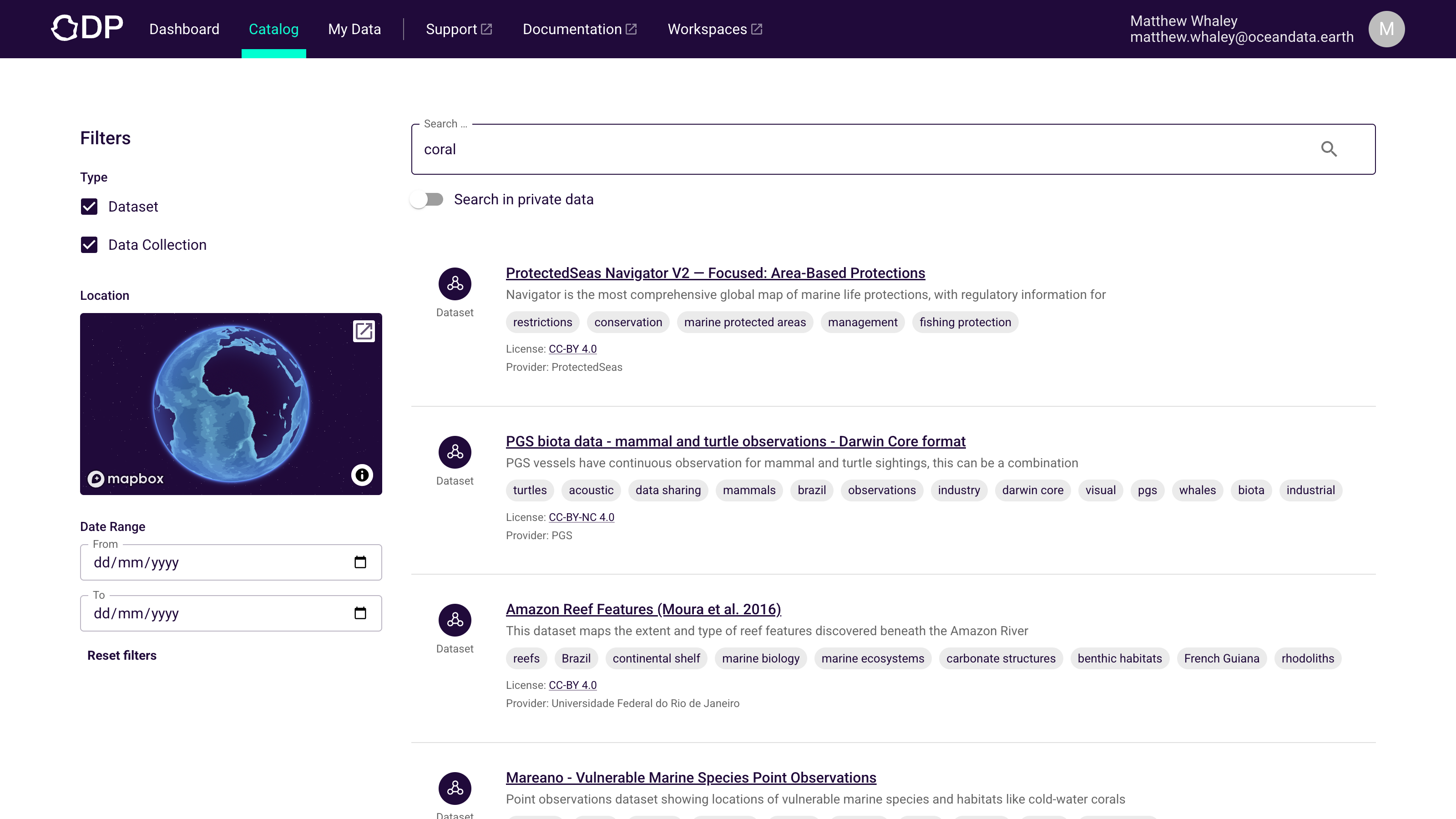
Search published data with semantic search plus geospatial and time filters.
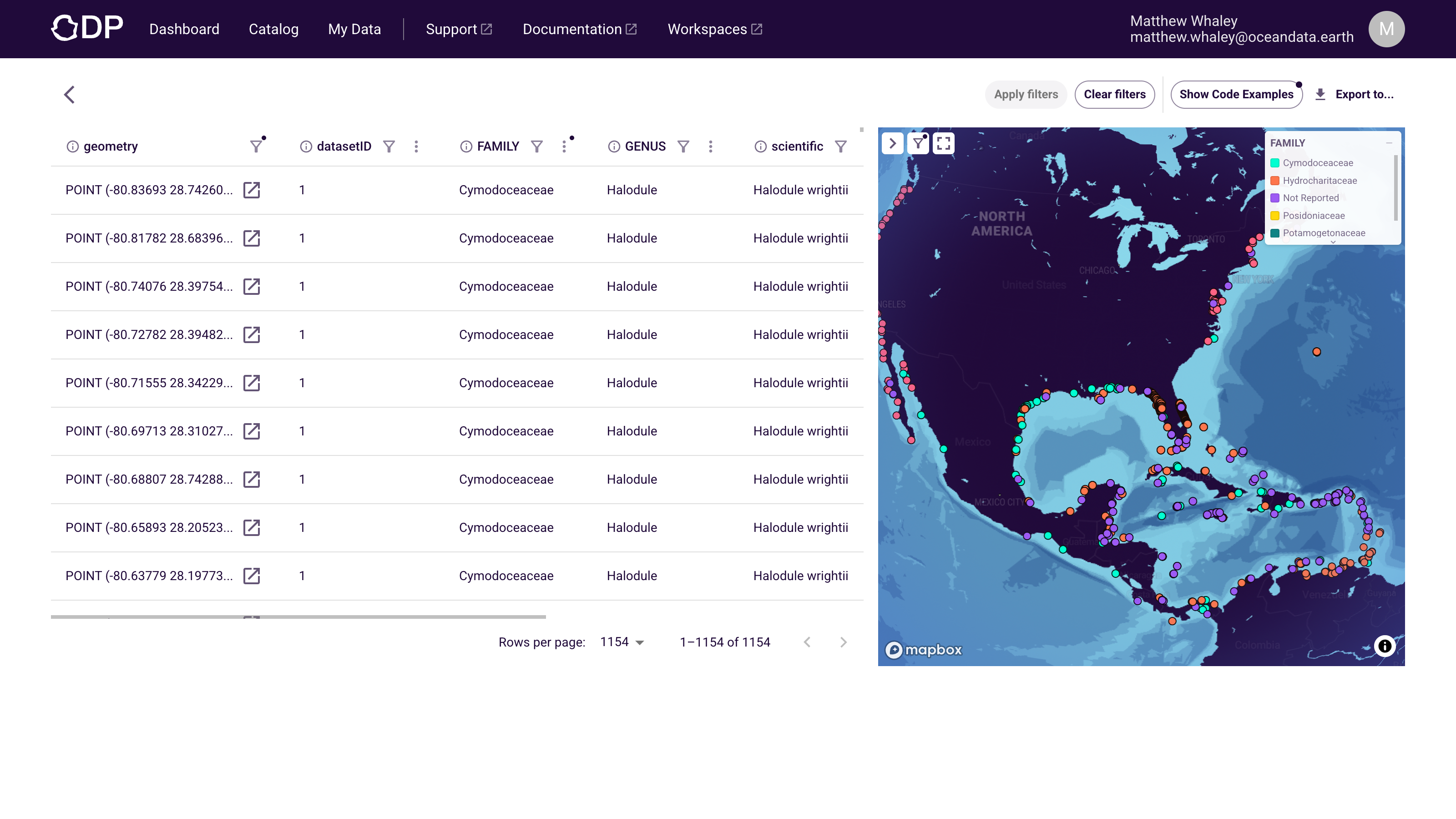
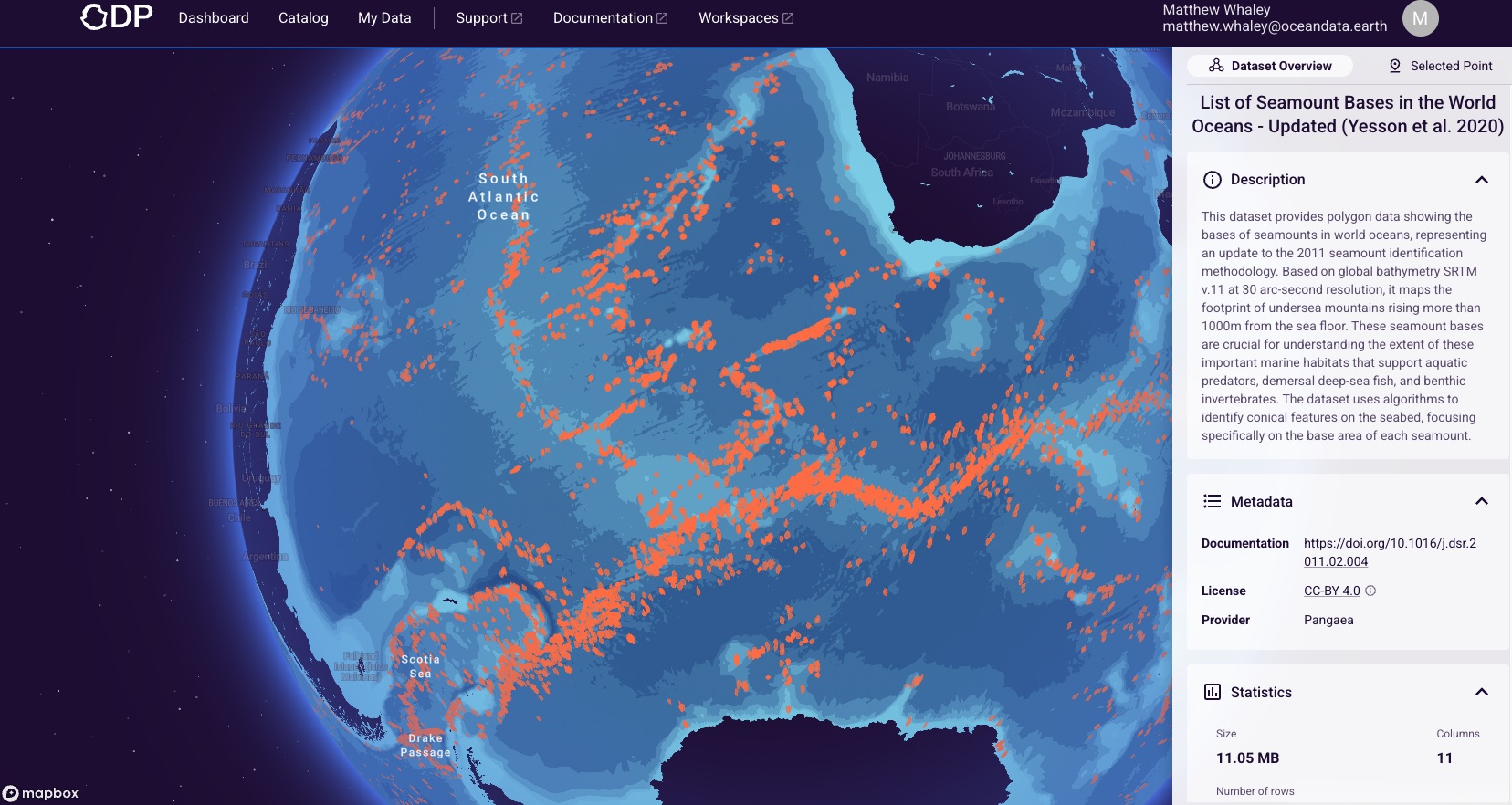
- Explore before you download
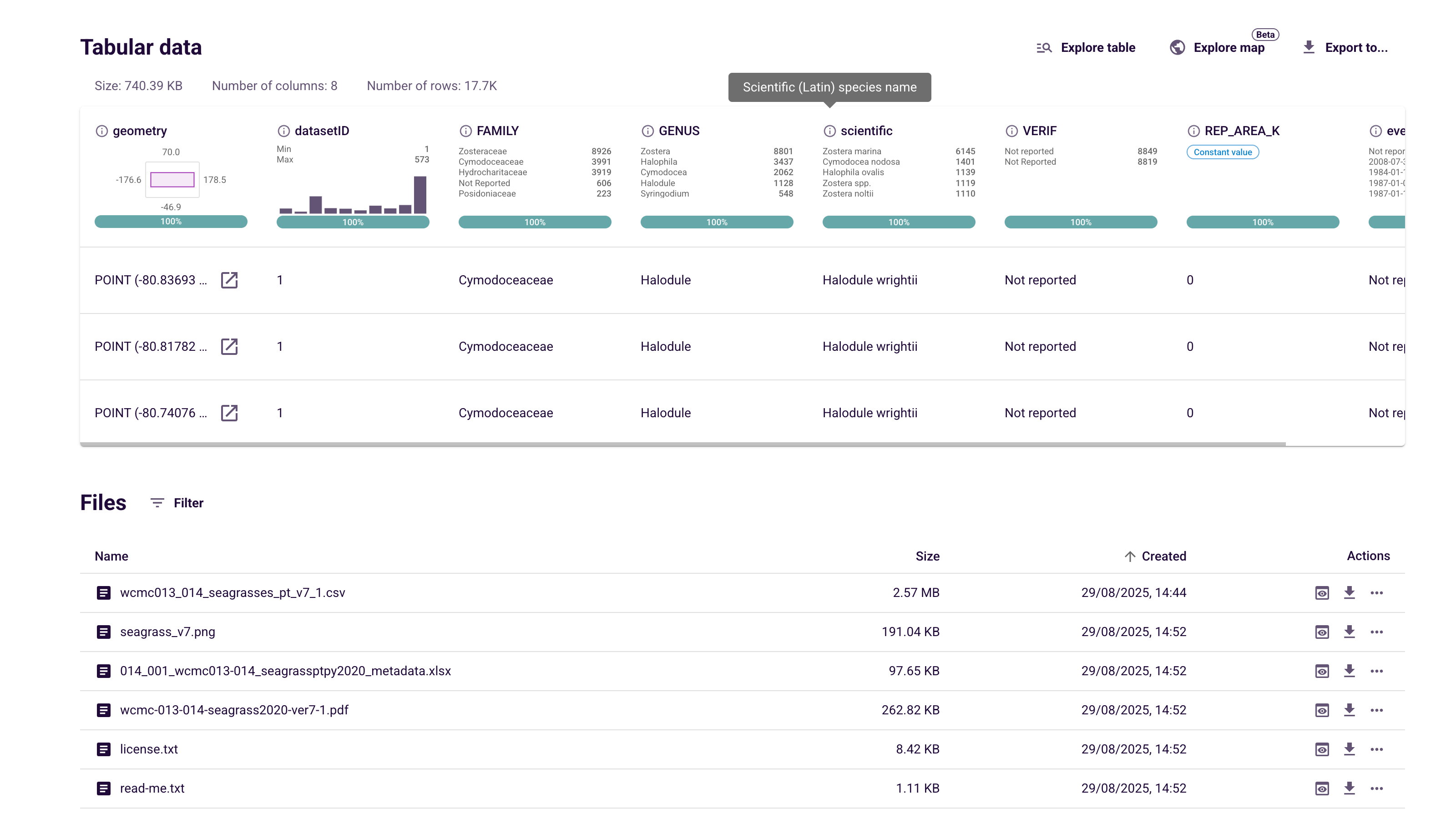
Preview files, inspect profiling, and use the Explore table view or Explore map view.
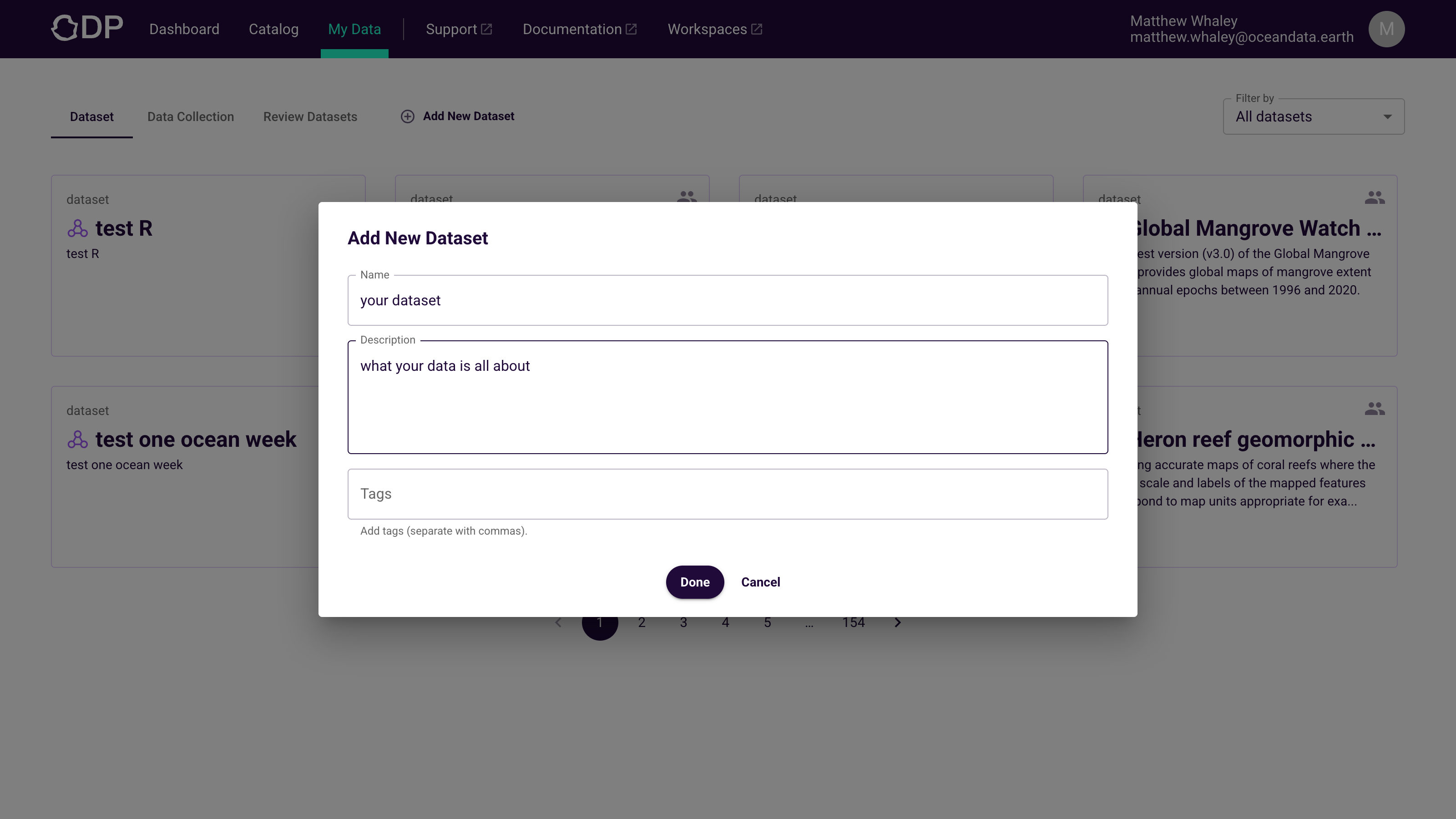
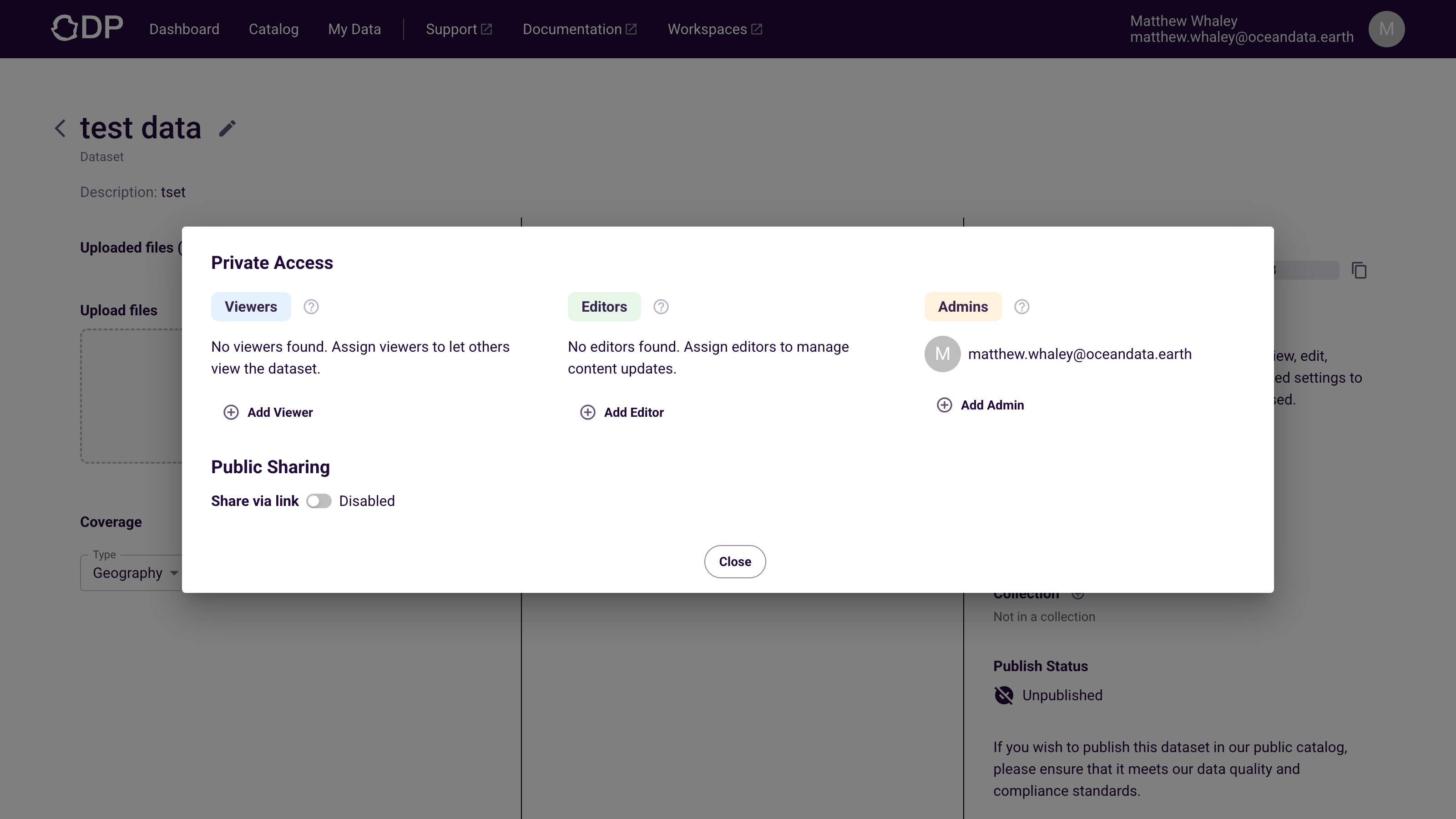
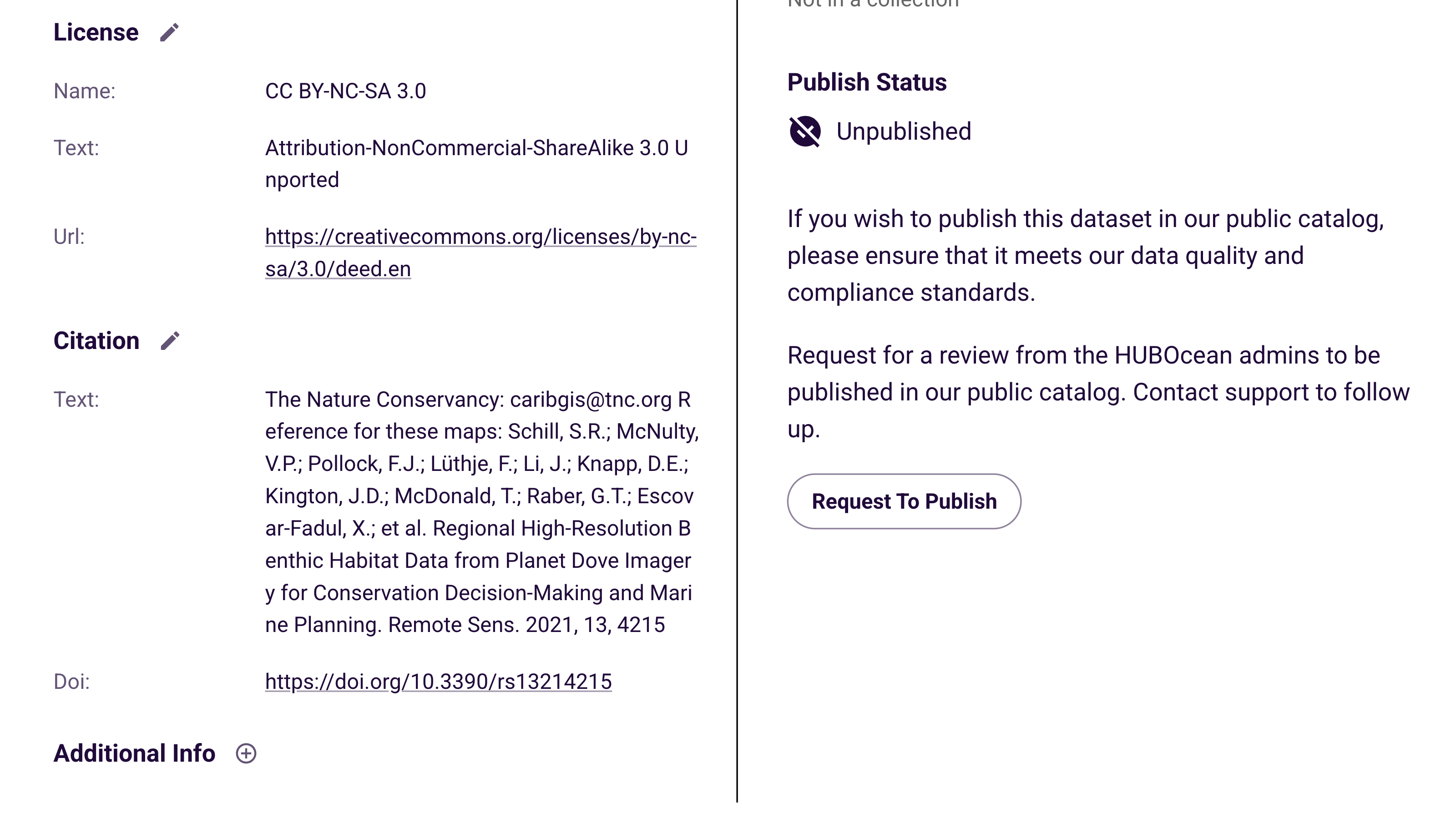
- Add your data to the cloud
Create, share, and publish datasets with clear metadata and access control.
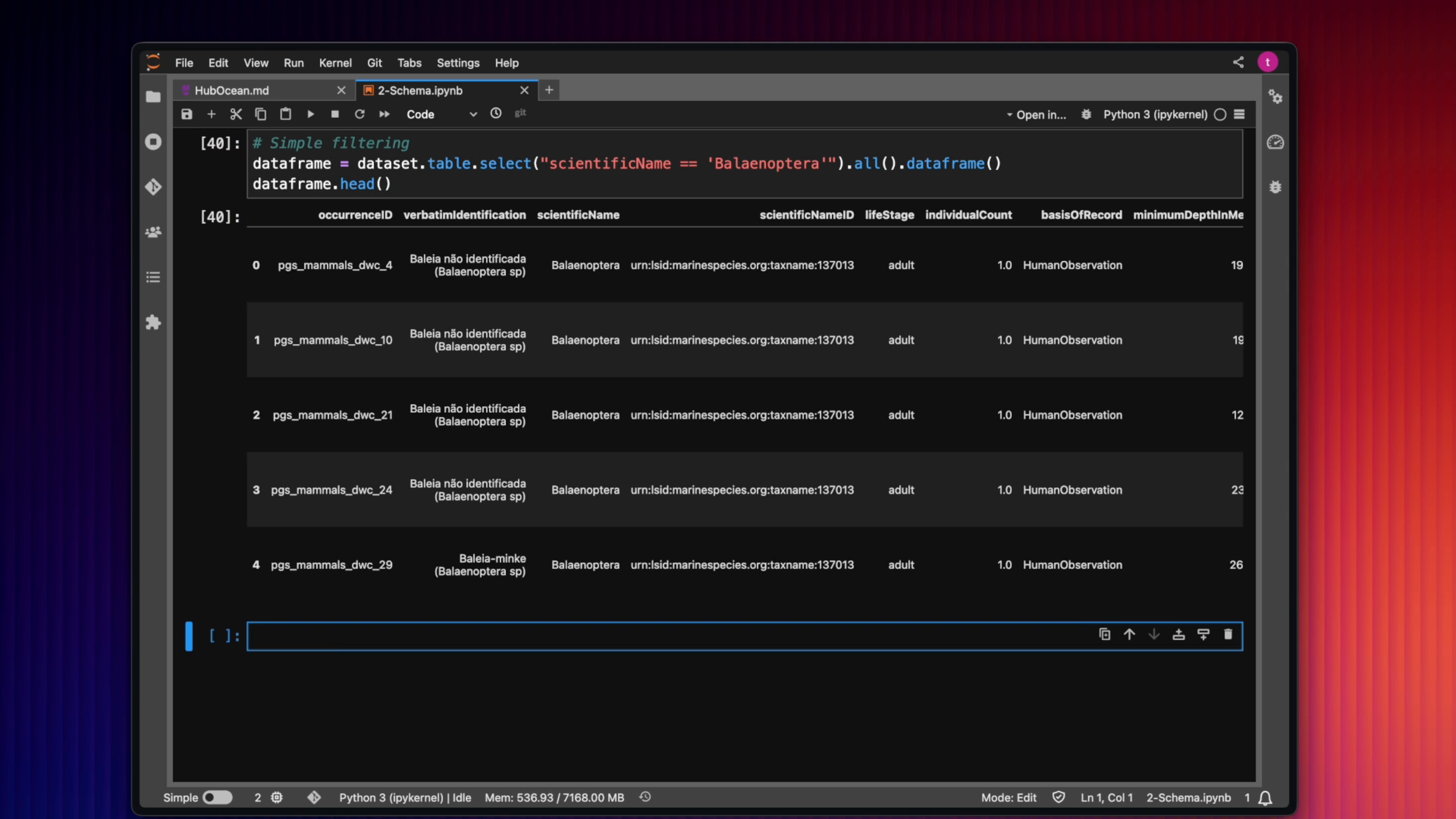
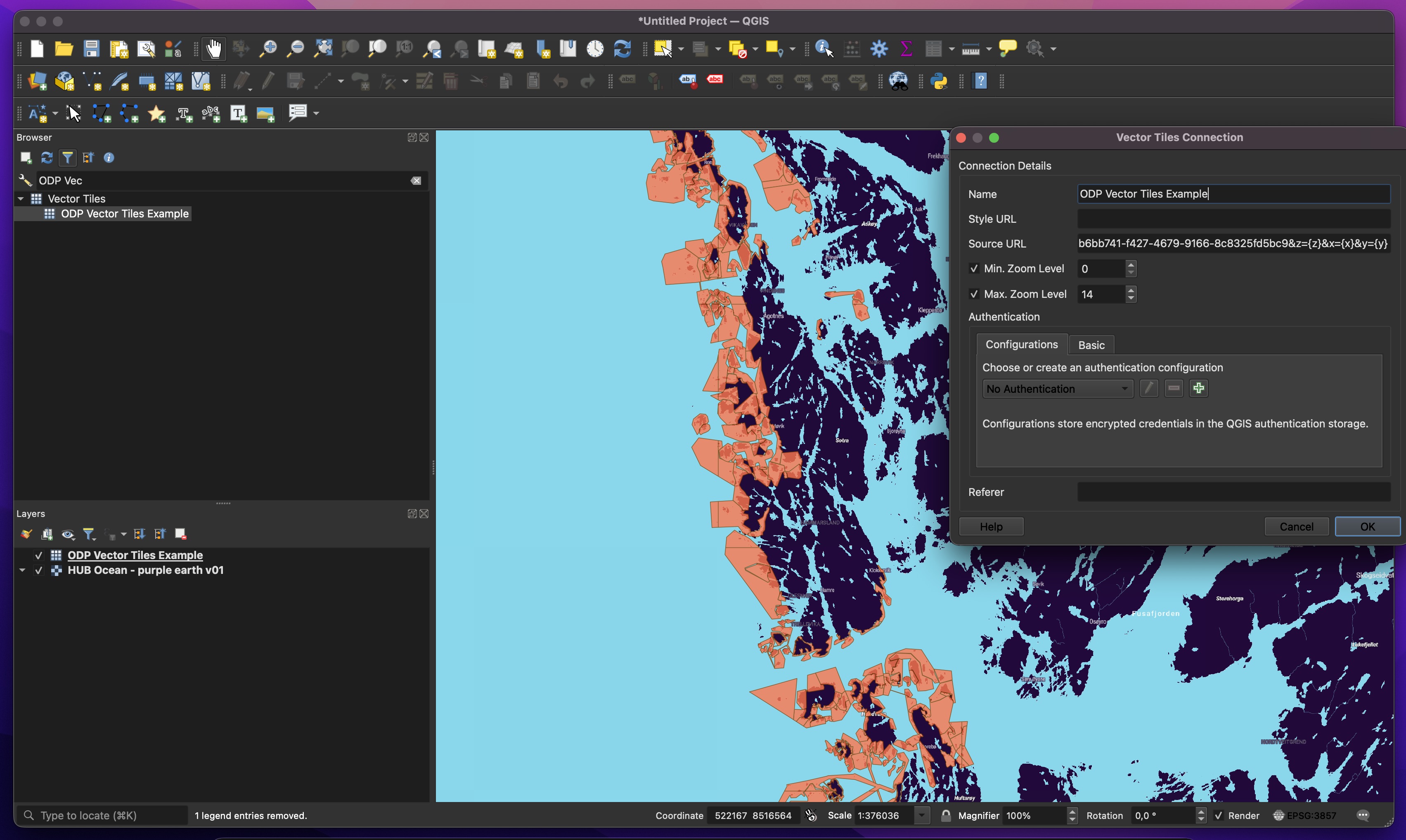
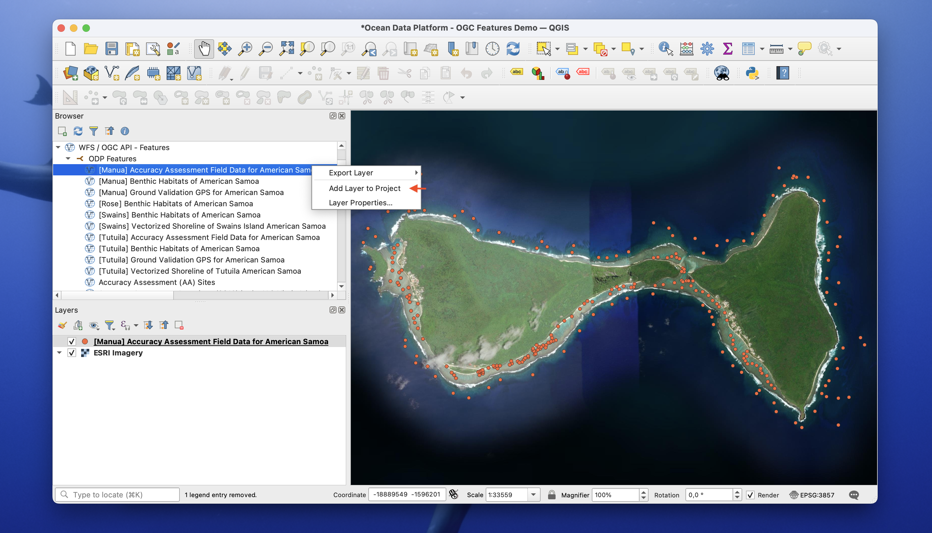
- Use the same data anywhere
Use the web app, connect via Python or R, open in GIS, or render with vector tiles.
Sign in to unlock more
As a non-signed-in user, you can explore the Catalog and inspect metadata. When you sign in, you unlock richer features such as interactive exploration, visualisation, downloads, and creating your own datasets.
Create an account
Log in
Start with a guide
Pick the path that matches what you want to do first:
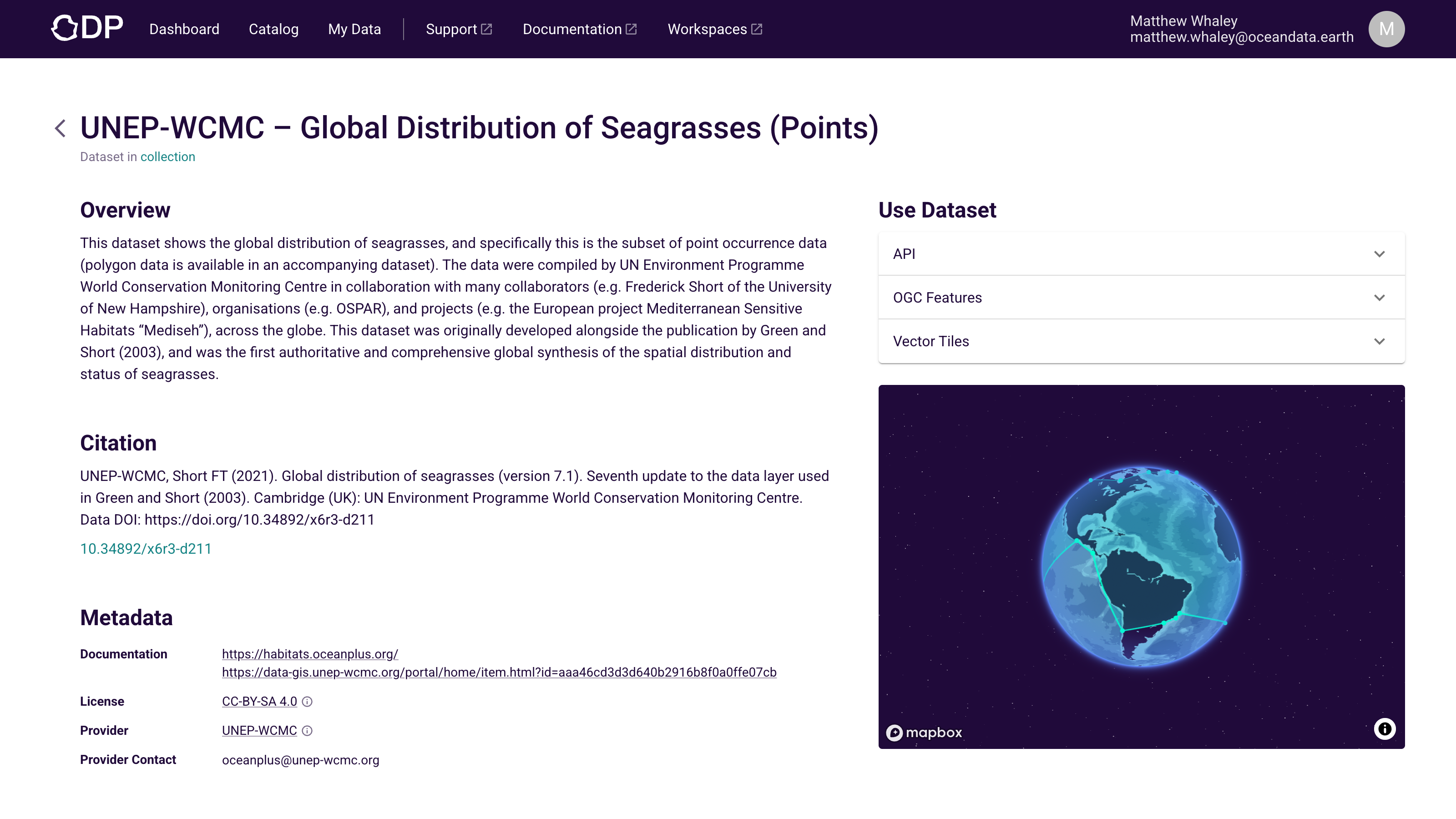
Explore data → Search the Catalog, inspect dataset pages, and understand what is available.
Add and manage your data → Create datasets, upload files, add metadata, manage access, and publish.
Use data in your workflows → Connect from code, GIS, or map tooling once you know what dataset you need.
Connecting from code?
The Python and R SDK is the most direct path — install, authenticate, and query in minutes.